TOPOWIN
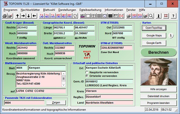
TOPOWIN is a state-wide register of the German topographic cartographies and of localities with geo references in different coordinate systems. It also is a topographic information system. The topographical maps of different standards can be determined by the complaint of known parameters or by the direct selection from overview graphics and from sorted lists.
OS:Win95,Win98,WinME,WinNT 3.x,WinNT 4.x,WinXP,Windows2000,Windows2003,Windows CE
Type:Shareware
Price:$140.00
Size:3634 KB
Version:10.00
Tags:topographygeodeticsgeographycornerbox