Geodata International
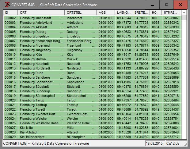
Geodata International - World-wide database of countries with georeferenced towns, municipalities, postal codes and administrative units with WGS84 and UTM coordinates and elevations for geocoding, proximity search, navigation, distance calculation. The database tables are present in the file format CSV (Comma Separated Values). The character set used is UTF8. This format is used often and in most cases you can import th data directly.
Mac OS X,Not Applicable,Unix,Linux,Windows 8
Data Only
165.00
1396 K
2015-7-26
Other products fromC. Killet Software Ing.-GbR